Posts

PhD almost over, so lets write a little about it

Afbeelding
The ice sheets and glaciers on our Earth are currently melting, which causes the global sea level to rise. This has of course major impacts on the 44 percent of the world’s population living in coastal areas. This melting is happening already since 24,000 years ago, during that time enormous ice sheets, up to 3-4 km thick, covered lands like Scandinavia and Canada. Scientists have done measurements of this rising sea level using the coral reefs at Barbados that show a sea level rise of 120-130 meters since the start of the de-glaciation. Imagine this for a moment; England was not an island at that time. Currently, we see a global sea-level rise of 3 mm/year, however locally the rate of sea-level change can vary significantly. For example, at the coastlines of the Netherlands we observe a 2.3 mm/yr sea-level rise, whereas the center of Sweden and Finland has a 7.8 mm/yr sea-level drop. The cause of these particular variations is that not only the sea-level changes, but also the so...


How to make a spectrogram or waterfall plot

Afbeelding
In a few blogpost ago, I showed you several figures of a satellites transmission. You know, those beautiful S-curve plots with all the colours.  Those are called spectrograms or we like to call them waterfall plots, because the radio transmissions streams up in time like a reversed waterfall. To see such a waterfall plot live in action, the University of Twente opened their antennas for you to listen and see (see link ). Yet, how to make such a figure? To start with you need a recorded radio transmission. When the website of the TUDelft tracking station is up and running you can download some data there. However, (Start NerdAlert!) you can also buy your own little USB stick that acts like a software defined radio (SDR) receiver like the Logilink DVB-T . For only 20 euros you have your own satellite tracking station. NOTE: Beware! You need the RTL2832U chip version, because a lot of open software is written for that device. It is almost plug and play, you need some software, b...

Observing gravity on a moving ship

Afbeelding
In the beginning of the 20th century the gravity field of the Earth was only measured on land. Of course, to obtain a complete image of the Earth's gravity field the oceanic area (covering 74% of the Earth) should also be inspected. However, in those days that was a difficult task. Gravity could be measured by several different instruments, but for them to work a stable platform was needed. This is difficult to arrange on a rocking ship. For example, the falling mass principle was used by Simon Stevin (1548-1620), who dropped balls of lead from the New Church in Delft, Netherlands. Later, a dutch sailor and scientist called Christiaan Huygens (1629-1695) found the relation between the period of a pendulum and gravity (I used this relation earlier in the my blog). This is now called the Christiaan's Huygens law. With it the operator was able to measure gravity with a single pendulum, but needed a stable platform, such that horizontal movement did not interfere with the...

DIY satellite-pass planner

Afbeelding
The new lecture year is coming and the satellite communications and tracking practicum is about to start. In this lecture, students have to plan a satellite pass, record the downlink signal, and post-process this data, such that they can recover some parameters like: Time of Closest Approach (TCA), carrier frequency of the satellite, and error estimates compared to TLE (see previous blog posts: here , here , and here ). For the first part, the students need to compute when the satellite is flying overhead. There are many websites and apps that are able to give you 5 day predictions, but I wanted to see if I could do this myself. As a little boy I always had the tendency to say: 'I can do that too!'. Up until the time my father said: 'Son, you can only say "I can do that too", when you at least have done it ones.' So, living by that wisdom I want to show you how to build your own satellite-pass predictor. To validate my efforts, I am going to generate the ...

Measuring mass changes with satellites

Afbeelding
In my latest paper, GRACE gravity observations constrain Weichselian ice thickness in the Barents Sea , I use an incredible satellite data set. Starting from 2003, NASA's GRACE satellite mission is producing monthly "images" of the Earth's gravity field. These observations are so accurate that certain mass transport is visible, if you look at the differences between these "images". This new data set gives tons of information about many different natural processes. Oh and the figures are so cool! For this blog, I downloaded GRACE data (click here for information, and here for the data) from the period between 2003 and 2013, CSR release. For every spot on the Earth, I calculated the linear gravity change in this period, so not the seasonal variations. The results are shown in the figure below: GRACE gravity change during 2003 and 2013 using a 'white' noise filter of ±0.5 microGal/year. The red areas show localised gravity increase (or ma...

EGU 2015 End Week Update: A Young Scientist participating in the Discussion

Afbeelding
The General Assembly of the European Geophysical Union in 2015 has come to an end. I am filled with new information, new ideas, motivational energy, great experiences, and encounters with new and interesting people. Waiting for my flight back home, I have time to reflect on the final few days of this incredible experience. Last blogpost, I gave an update of the first two days. I was working that day on my rebuttal for a new paper. I submitted the paper to a journal, which is using a short response time of two weeks, and with Easter and preparation for the conference, I had little time to work on it. On Wednesday, my personal program only needed me to be at the evening poster sessions, so during the day, I locked myself up in my hotel room and worked on the rebuttal (despite the beautiful weather). It is now with the editor for decision! Nevertheless, I had an interesting time in the evening. Day 3: Wednesday 15 April 2015 Arriving late at the EGU conference site, I went direc...

EGU 2015 Mid Week Update: A Young Scientist among Giants

Afbeelding
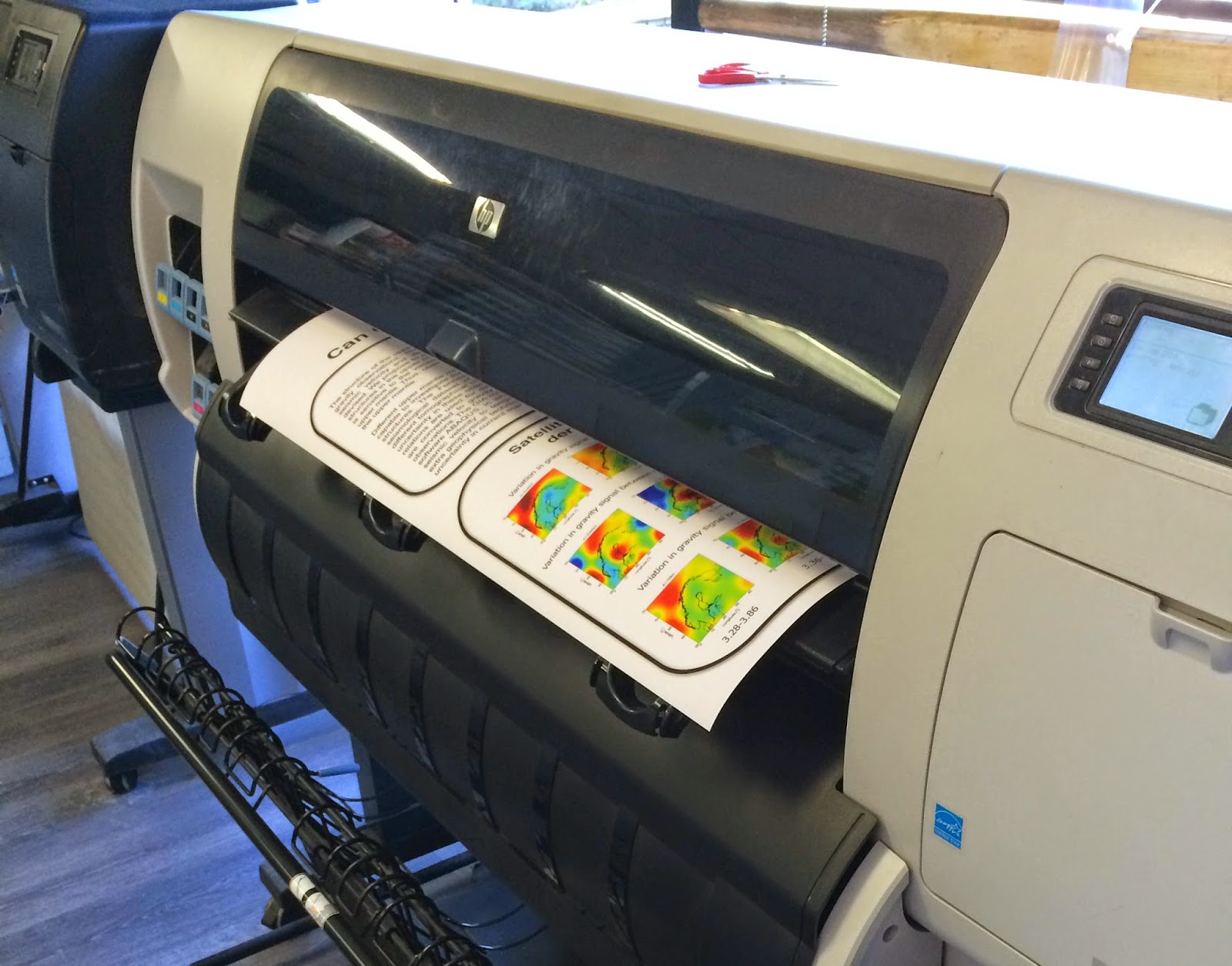
With the European Geophysical Union General Assembly halfway there, it is time for me to sit and write down all my experiences as a young scientist. From sitting behind your desk, interacting with max 3 living beings (one of them is my office plant), to literally meeting thousands of scientists from around the world can be a little bit exhausting. Therefore, I have my mid week moment-of-zen, which I use to write this blog. Pre-EGU2015 adventures: Due to a tight-scheduled revision of one of my papers, I had little time to design and print my poster, forcing me to drop by the print office on my way to the airplane. After a provocatively slow printer, I hurried to the airplane and got my flight to Vienna. After extra long minutes my poster was ready to go! Arriving at Vienna, I checked in my hotel, after a short train ride from the airport. During the waiting on the platform and the train ride, you could spot them already: other scientists, still a little weary from the fli...